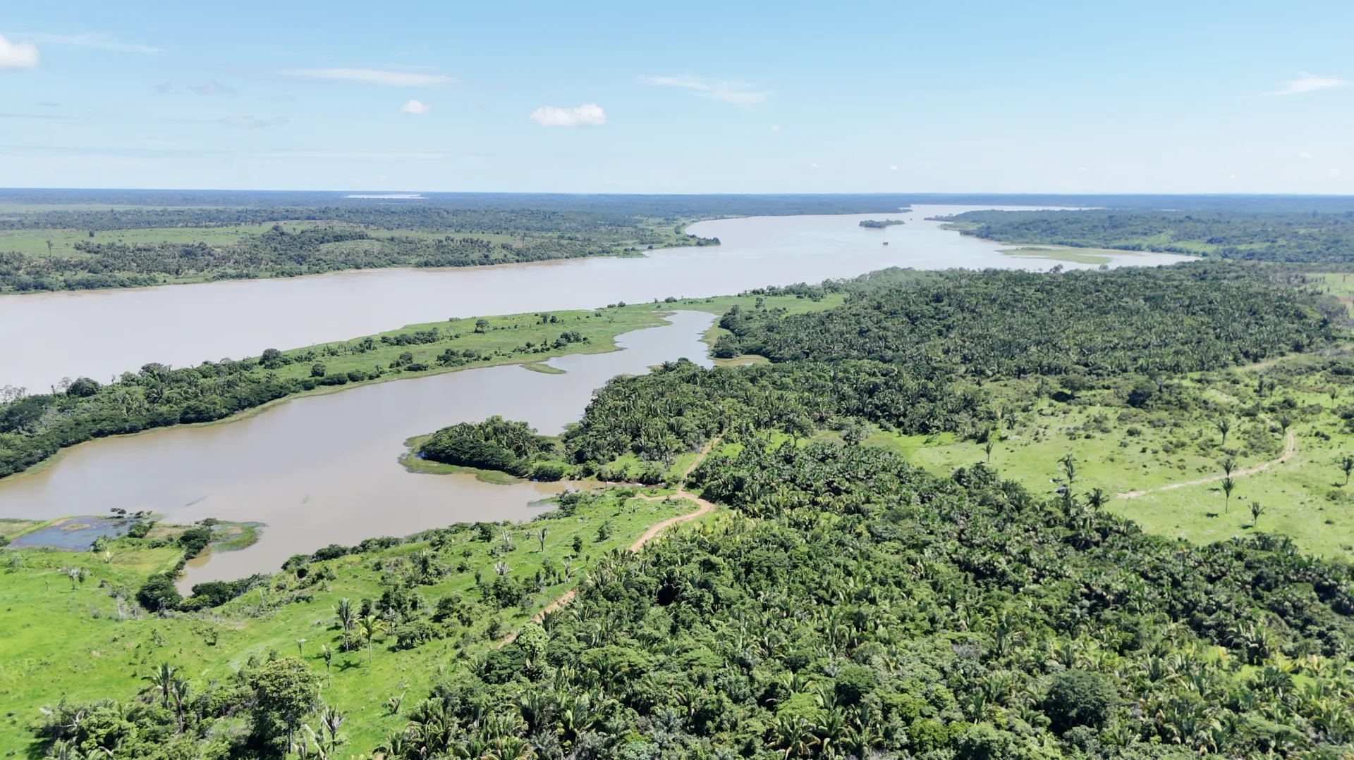
Rio Madeira Gold Project
Targeting the Mocururu gold-bearing horizon — a preserved paleoplacer system within Brazil's Madeira Basin, evaluated using modern geophysics and drilling.
163,145ha
Land Package
80km
Strike Length
20,000m
Planned Drilling
7+M oz
Reported Historic Regional Production
Project Overview
A district-scale gold
exploration opportunity in
Rondônia State, Brazil.A district-scale gold exploration opportunity in Rondônia State, Brazil.
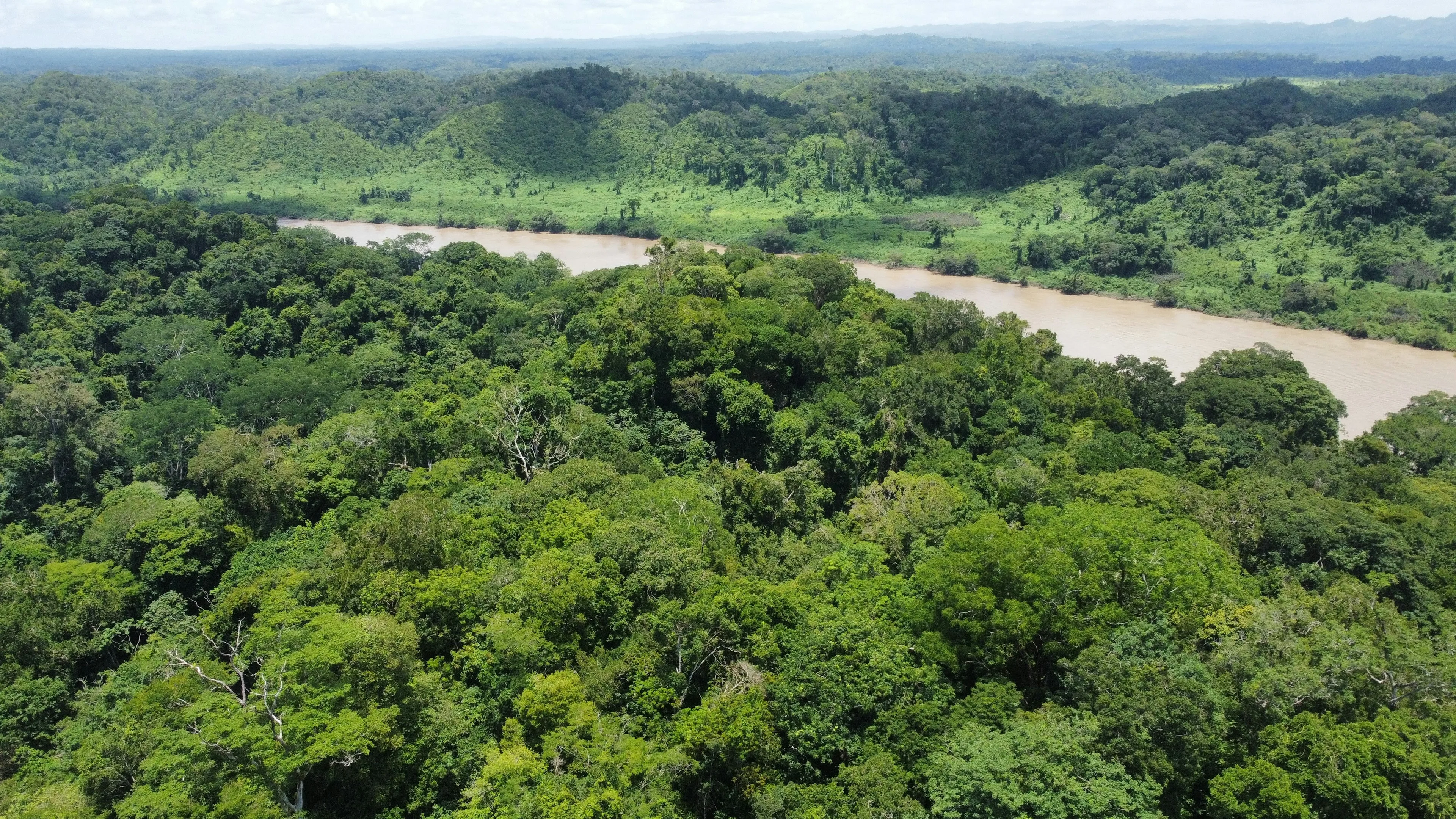
The Rio Madeira Gold Project represents a large land position in Brazil's historic Madeira River gold belt. Canary Gold controls over 163,000 hectares of mineral tenure with direct access by highway, powerline, and river.
The project includes multiple exposures of the Mocururu horizon — an iron-rich duricrust layer that the Company is evaluating as a potential primary source horizon for gold that contributed to the Madeira River's alluvial endowment. Reported historic dredging along the corridor provides regional scale context.
The Company's working model is a preserved paleoplacer system with characteristics comparable to Witwatersrand-style systems. Geological analogs are used for conceptual comparison only and are not indicative of mineralization, grades, continuity, or economic potential at Rio Madeira.
Key Facts
- Location
- Rondônia State, Brazil
- Nearest City
- Porto Velho (~50 km)
- Access
- Highway, powerline, river
- Target Horizon
- Mocururu duricrust
- Depth to Target
- 20–30 m below surface
- Phase 1 Contractors
- Geosedna (RC/Air-Core)Geosol (Screw-Auger)
Field Evidence
Visible gold identified within Mocururu sediments
— evidence consistent with a mineralized sedimentary system.
Visible Au — identified in Canary's 2025 panned concentrates derived from air-core, sonic, and outcrop sampling.
40.9 g/t Au
Historic grab sample from Mocururu conglomerate*
>2 g/t Au
From correlative horizons farther north*
* Historic samples are selective, non-systematic, not representative, and have not been verified. No inference of grade or continuity should be made.
Location, Access & Geological Model
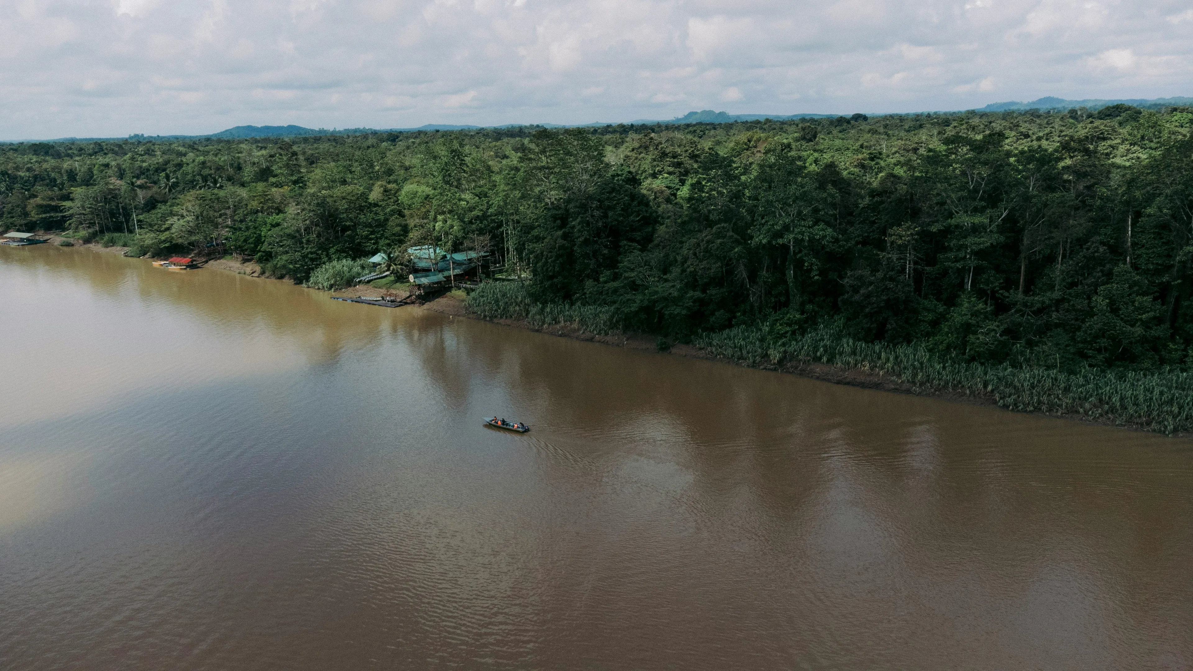
Madeira River gold belt exposure — targeting the Mocururu paleoplacer horizon.
Click map to view full-size.
Rondônia State, Brazil
Located approximately 50 km from Porto Velho, the state capital, with a population of over 500,000.
Grid Power Available
Direct access to Brazil's national power grid, reducing operational costs and environmental footprint.
Multi-Modal Access
BR-319 highway access plus navigable river routes along the Madeira River for equipment and logistics.
Year-Round Operations
Tropical climate allows for continuous exploration activity throughout the year.
Geological Analogy
Witwatersrand-Style Mineralization
Brazil's Rio Madeira Gold Belt shares geological characteristics with South Africa's Witwatersrand Basin, which formed as ancient highlands eroded into river systems concentrating gold in buried channels.
The Witwatersrand Basin has produced over 1.5 billion oz of gold and is estimated to contain 3.2 billion oz — more than 40% of all gold ever mined.
Geological analogs are used for conceptual comparison only and are not indicative of mineralization, grades, continuity, or economic potential at Rio Madeira.
1.5B+ oz Au
produced from the Witwatersrand
~40% of all gold ever mined
The Mocururu Horizon
Canary's primary target is the Mocururu — an expansive iron-rich duricrust horizon believed to extend across the broader 163,145 ha land package. This cemented layer is interpreted as the source of gold that fed the Madeira River's alluvial deposits.
The Mocururu is the source, not the byproduct — Canary's exploration focuses on this iron-rich duricrust horizon, with historic river courses that trapped eroded gold serving as secondary structural targets.
Key Geological Evidence
- Gold-bearing conglomerates along 80 km corridor
- Iron-rich duricrust (Mocururu) at 20–30 m depth
- Preserved paleoplacer system analogous to Witwatersrand
- Multiple Mocururu exposures along Madeira River
- Historic dredging aligns with primary gold source interpretation
- Geophysics confirms >2,000 Ω·m resistivity horizons
Exploration Timeline
A multi-year program of geophysics,
drilling, and modelling advancing toward
resource definition.A multi-year program of geophysics, drilling, and modelling advancing toward resource definition.
2023
Data Compilation & Geophysics
Technical review and tenure consolidation. Geophysics and data integration used to prioritize the Mocururu target horizon along the broader corridor.
2024
Technical Model & QA/QC Framework
Exploration model refinement and QA/QC planning to support follow-up drilling and defensible disclosure.
Apr 2025
Reconnaissance Air-Core Drilling
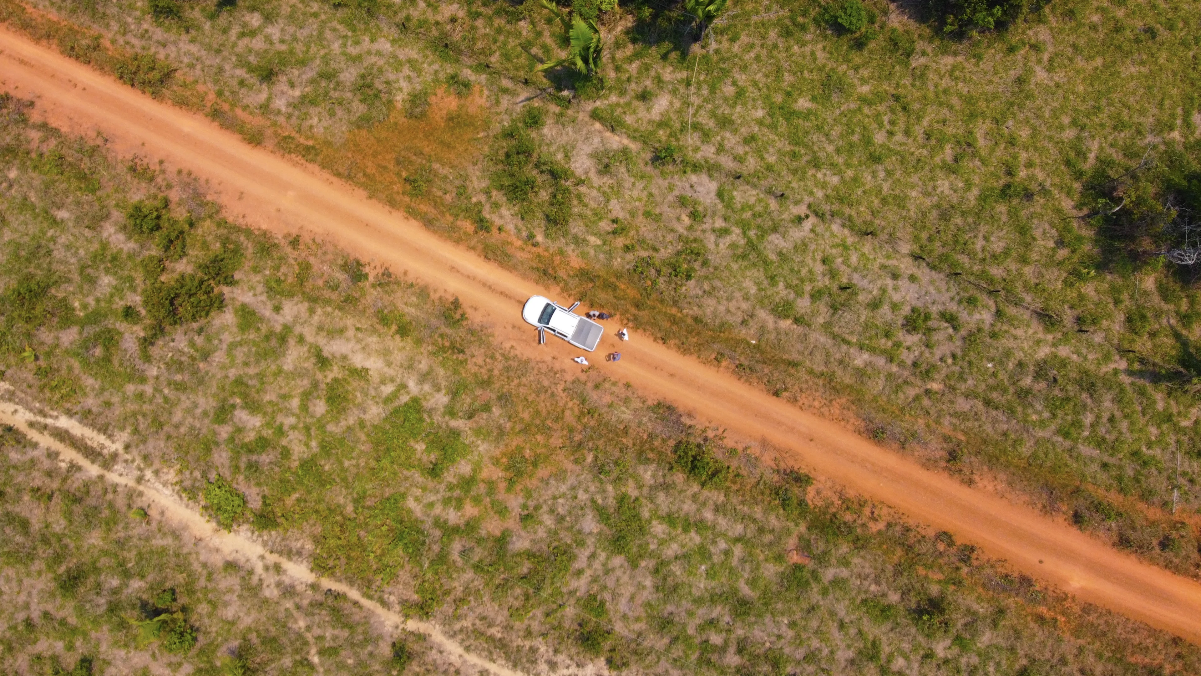
Reconnaissance drilling initiated, including a 1,000 m air-core program designed to test the Mocururu horizon and collect representative material for downstream work.
Nov 2025
Visible Gold + ODM Processing
Visible gold reported in multiple samples from three air-core drill holes (AC-001, AC-003, AC-004). Samples advanced through SGS testing and ODM metallurgical-style processing to better understand the gold-bearing characteristics of the Mocururu material.
Early 2026
Phase 1 Drill Program
20,000 m systematic program (≈15,000 m RC/air-core + ≈5,000 m screw-auger) designed to test the Mocururu horizon on structured drill fences across the target corridor.
Q1 2026
Phase 1 Drill Program
A systematic first-pass drill program designed to test the Mocururu horizon at district scale. Phase 1 represents the first coordinated campaign to evaluate continuity, thickness, and gold distribution across the broader paleoplacer system.
15,000 m
Aircore Drilling
5,000 m
Screw-Auger
- Multi-rig program commencing January 2026
- Contractor secured: Geopar Perfurações
- Full QA/QC protocols with accredited laboratory
- First assay results expected Q2 2026
Responsible Exploration
ESG & Permitting
Canary is committed to responsible exploration across its 163,145 hectare land package, emphasizing low-impact methods, regulatory compliance, and long-term environmental stewardship while advancing discovery.
Traceable & Conflict-Free
All future production is intended to align with recognized sustainability and traceability frameworks.
Low-Impact Methods
Exploration techniques selected to minimize disturbance to local water, soil, and ecosystems.
Rehabilitation Planning
Progressive rehabilitation and native reforestation programs planned for disturbed areas.
Project Documents
View reports and presentations for detailed project information.
NI 43-101 Technical Report
June 24, 2025
Independent technical report on the Rio Madeira Gold Project prepared in accordance with NI 43-101.
View ReportInvestor Presentation
December 2025
Latest investor presentation outlining the Rio Madeira geological model, exploration strategy, and milestones.
View PresentationProject Fact Sheet
December 31, 2025
One-page overview summarizing key project highlights, metrics, and exploration focus.
View Fact SheetLearn More
Explore the Opportunity
Connect with our team to learn more about the Rio Madeira Gold Project and Canary Gold's path toward discovery.